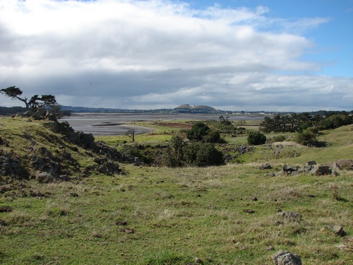
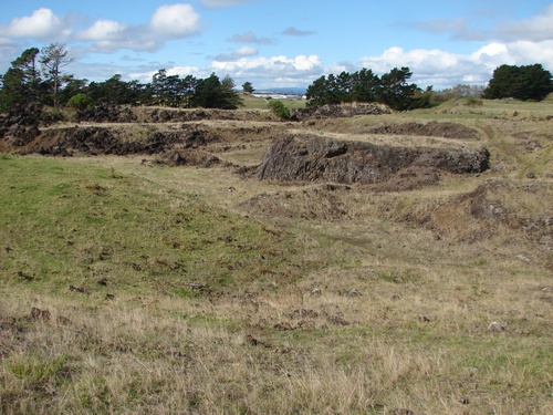
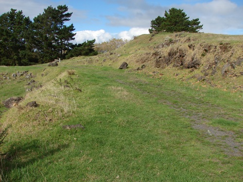
We approach the edge of a reasonably deep depression.
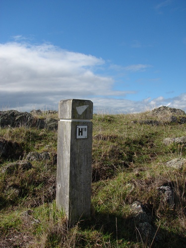
and the next few Hposts take us around the rim of it.
It's grand day for the walk.
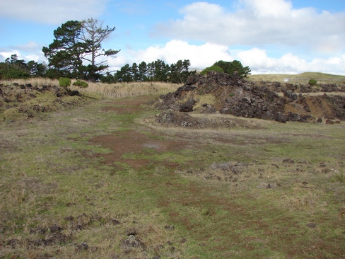
Over to the right, the remains of another quarry. This is to be the site of the proposed visitor centre and carpark.
More evidence of stone clearing below us.
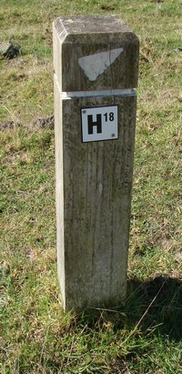
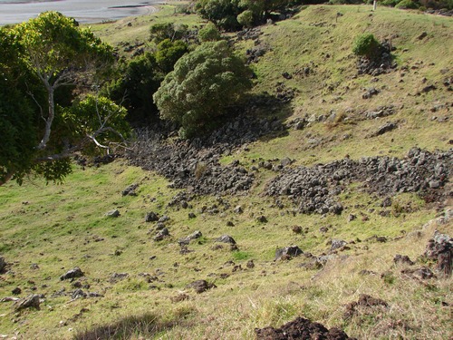
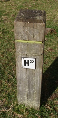
and H23 points us around to the left. Just beyond here we see collected the pieces of rock that were too large ro be handled by the quarry equipment and they were simply placed off to one side.
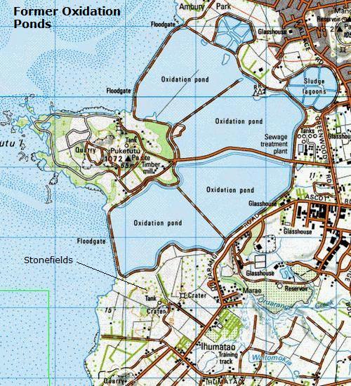
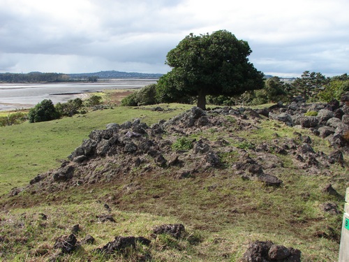
Down below in the corner, the map tells us later, is the site of one of the original holiday baches. It was hardly 50 years ago they were abandoned to the oxidation ponds, but there's scarcely a trace now.
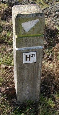
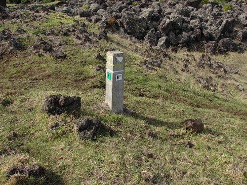
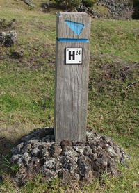
Back to H24, and while the notes later tell me there are the remains of storage pits nearby, I miss them, until next time. H24 points us back the way we have come. We pass H23, and its reverse side has an arrow pointing in the direction we're heading, but we have to hunt a bit for H25. It's nowhere in sight.
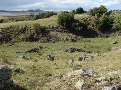
We make our way round a pile of rocks which we presume are the remains of the former quarry
and even then there's no sign of H25
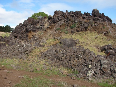
Quite a spectacular rock pile and I imagine it would repay a little more time especially if one has an interest in botany. Still no sign of H25, but there's a gate up ahead, and there's that concrete water tank.
 I
I
Is that it up to the right? No, it's part of the botany trail.
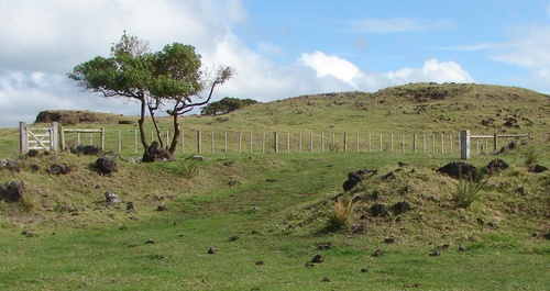
We head around and through the gate. There it is.
And we're more or less back where we started.
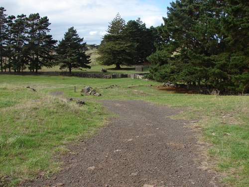
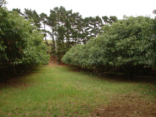
On the way out, we take a few minutes to check out the avocado orchard that is on our way back to the van.
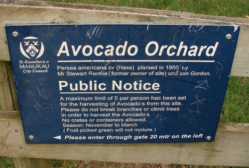
An orchard full of freebies. Wow. We head in through the gate. There are several rows of trees, well established and about 30 years old
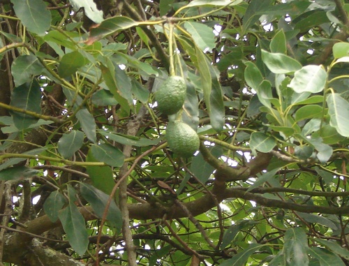
Here and there a few late fruit can be seen. Worth a visit next season.
Fatman time for the round trip a touch over 80 minutes including the detour at H15.